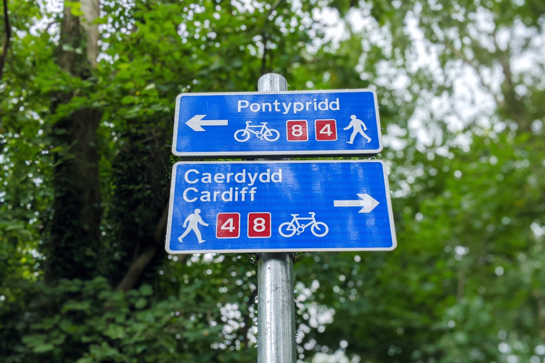
Walking the Taff Trail: Cardiff to Pontypridd

Wales is made for hikers. Hikers who aren't afraid of a little rain, that is. Hundreds of thousands of people visit Wales each year just to summit the mighty Mount Snowdon, while others head west to trace the higgledy-piggledy curves of Pembroke's glorious coastline via the Wales Coast Path.
But you don't need to travel to Wales' wildest corners to find incredible Welsh walks. In fact, one of South Wales' most popular and accessible routes starts in the heart of the country's capital city, weaving its way north into the beautiful Brecon Beacons National Park. It's called the Taff Trail.
The Taff Trail is a 55-mile (89km) walking and cycling path between Cardiff and Brecon. Mostly off-road, the trail follows roughly the same route as the River Taff and treats hikers to some of South Wales' prettiest scenery. It's also packed with history and the landscape is littered with evidence of its industrial roots. Taking in spoil tip hills, relics of old coal railways and plenty of chocolate-box mining towns, the trail offers a practical way to learn more about the region's heritage.
I walked the first section of the trail solo on a quiet weekday. It can get quite busy on the weekends, particularly around Cardiff, and weekdays can be exceptionally quiet in rural areas – so it makes sense to time your visit to suit your preferences, and consider bringing company if crunchy twigs leave you spooked.
Route: Cardiff to Pontypridd
Details: visit sustrans.org.uk for the full Taff Trail route.
Time: approximately 5 hours, 30 minutes total (not including breaks).
Distance: approximately 17 miles (27km).

Cardiff Bay to Bute Park
Time: approximately 45 minutes.
Distance: 2.5 miles (4km)
The trail officially starts at Cardiff Bay's Celtic Ring sculpture, at the coastal end of Roald Dahl Plass.
Grab a coffee and admire the water, swinging by the Senedd (the Welsh parliament building) before looping west towards Penarth and making your first crossing of the River Taff. The path heads north from here, past Cardiff Central Station (another fine starting point, if you're travelling by train) and the Principality Stadium, eventually hitting Castle Street. Take a short detour here to catch a glimpse of Cardiff Castle if you have time.

Bute Park to Castell Coch
Time: approximately 2 hours.
Distance: 7 miles (11km)
From here, the official trail hugs the west side of the Taff through Sophia Gardens, but it's worth ducking into Bute Park to wander through wide open fields and avenues of soaring redwoods. If you're peckish already, check out the Secret Garden Cafe – their chocolate orange brownies are divine.
At the top of the park, the trail switches to the east side of the Taff. Two miles on from here you'll find the Melingriffith Water Pump, which was built around 1800 to pump waste water from Melingriffith Tin Plate Works back into the Glamorganshire Canal. A mile further on, Radyr Weir – which now includes a small hydroelectric station – is another example of how the industrial revolution altered the local landscape.

Pass beneath two ugly tunnels, above which roar the M4 and A470, until you reach Tongwynlais. If you've packed your own lunch, how about a picnic on the grounds of a castle? Hook a right at the Lewis Arms to reach Castell Coch. During my hike I failed to take this road, instead continuing straight until I reached a dead end and had to scramble up a steep forested hillside – I never said navigation was my strong suit...

Castell Coch to Nantgarw
Time: approximately 1 hour.
Distance: 2.5 miles (4km)
Keeping a close eye on signs and your map, set off through Forest Fawr, making sure not to accidentally take any of the alternative walking paths (again, I speak from experience here). This section of the trail is entirely off-road and the lofty track is lined with trees.
Eventually (and somewhat unfortunately) the trail will spit you out onto the A468 – quite a shock to the system after a period of quiet solitude. Make use of the pedestrian crossing to traverse the busy road before navigating through a residential section of Nantgarw to rejoin the path.
Unseemly but practical tip: I didn't come across any public loos along the trail. This forested section is a good spot for a 'wild wee', should nature call!

Nantgarw to Pontypridd
Time: approximately 1.5 hours.
Distance: 5 miles (8km)
It wouldn't be a Welsh walk without a little rain. It was at this point during my walk that the drizzle graduated into proper fat drops of rain, meaning my wet weather gear was put to the test. This section is similar to the last, though the tree covering thins out the closer you get to Pontypridd. Finally, you'll emerge on the outskirts of town. At this point you'll have a tangle of large roundabouts and residential streets to cross before you reach the centre of Ponty.
What to pack for the Taff Trail
Plenty of water. I like to use a CamelBak reservoir, which sits comfortably in my backpack and means I can drink on the go using the handy straw which clips onto my shoulder strap.
Snacks: I took trail mix, fruit, flapjacks and a cheeky chocolate bar.
A spare pair of socks – switching up at the halfway point is a real treat. Credit for this tip goes to my friend and former colleague Megan, who loves a long walk.
Blister plasters, just in case.
A phone or sports watch equipped with GPS and OS Maps.

Getting to and from the Taff Trail
From Cardiff Central train station
There's no shame in starting from the train station! But if you want to start from the very beginning of the trail, you'll need to get to Cardiff Bay – to the Celtic Ring sculpture, at the coastal end of Roald Dahl Plass. You could warm up with an extra walk, or take the following modes of transport:
Train: To take the train between Cardiff Central and Cardiff Bay you'll need to change at Cardiff Queen Street. As of 2022, a one-way (single) fare costs £2.80. The journey takes between 15 and 30 minutes. I use the Trainline app for paperless tickets.
Bus: The number 6 bus departs every half an hour from bus stop JM (at the rear/carpark side of the train station) taking around five minutes to reach Cardiff Bay. A standard one-way (single) fare costs £2.
Bike: Why not cycle? The ride takes around 7 minutes. There are OVO bike rental stations all over Cardiff. Download the nextbike app to find out more.
Taxi: 5 minutes. Uber is available in Cardiff but I recommend using local firm Dragon Taxis.
Returning to Cardiff from Pontypridd
Check traveline.cymru for the latest timetables and fares.
Train: Direct trains between Pontypridd and Cardiff Central run a few times an hour. As of 2022, an Anytime Day Single (one-way) ticket costs £4.90.
Bus: The TrawsCymru T4 bus (which runs between all key stops along the Taff Trail, including Merthyr Tydfil and Brecon) and the X4 each take around 40 minutes to reach Cardiff Castle. As of 2022, one-way (single) tickets cost £3.40.
Taxi: 20 to 30 minutes.
Where to stay in Pontypridd
I didn't stay in Pontypridd, but here are some options I'll consider next time:
Blueberry Hotel, Market Street: central location, good-value rooms and a restaurant.
Ty Ffarm, Graigwen: a private 16th century farmhouse just out of town, good for groups.
House with a view: this central Airbnb has great views and an outdoor space.
Follow my route on Strava
You'll notice I didn't start from Cardiff Bay – I walked from my house into town and joined the route at Bute Park.
You might also like...

Review: beginner surf lesson at Adventure Parc Snowdonia

17 gift ideas for travel lovers – made in Wales
